Skip to content
MythExplorer / 2.0 preview MythExplorer icon

Your footsteps
clear the fog.

The map starts covered. It opens up only where you have actually been: on foot today, on a drive last month, or in the photos you took ten years ago. In 2.0, your map, journeys and exploration progress each have a place in the new bottom navigation.

iPhone & iPad No account, no server 6 languages
Download on the App Store
MythExplorer 2.0 Taipei map with recording controls and the Map, Journeys and My exploration tabs

What it does

Three ways the fog gets cleared, and what you get back.

Your journey, one recording switch

Turn on "Record my journeys" to trace your route as you move. With Always location permission, recording can continue with the screen off, managed by iOS. Location activity reduces when you stop moving. If you force-quit the app, open it again to resume recording.

Your photos fill in the past

Give it access to your photo library and it reads the location saved in each picture. Years of travel show up on the map in one pass, with your photos pinned where they were taken. You don't have to start from an empty map. On first launch you say whether you would rather map your past or clear the fog as you go; that only sets the defaults, and every feature stays available either way.

It tells you when you reach somewhere new

MythExplorer watches the handful of interesting places nearest you: museums, parks, beaches, viewpoints. Walk up to one you have never visited and it unlocks, with a notification if you want one. This works with the app closed and costs almost no battery.

Trips find themselves

Spend a night or more 50 km from home and that stretch becomes a trip on its own, with the days laid out, the photos you took, and how much fog it cleared. Any trip, or a whole year, can be turned into a short replay video that redraws the map in order.

Heatmap, fog, or a globe

Switch the map between fog and a heatmap that shows where you spend the most time. Or flip to a 3D globe with a beacon on every place you've been and an arc for each flight the app watched you take. The heatmap stays quick no matter how much history is behind it.

Progress you can measure

Cleared area is counted in square kilometres and compared to something real, like a share of Taipei or a few times Central Park. Levels, titles and achievements come with it, along with a year-in-review you can share.

A look at 2.0

Actual iPhone screenshots from the 2.0 build submitted to the App Store. Start at Welcome, then explore Map, Journeys and My exploration.

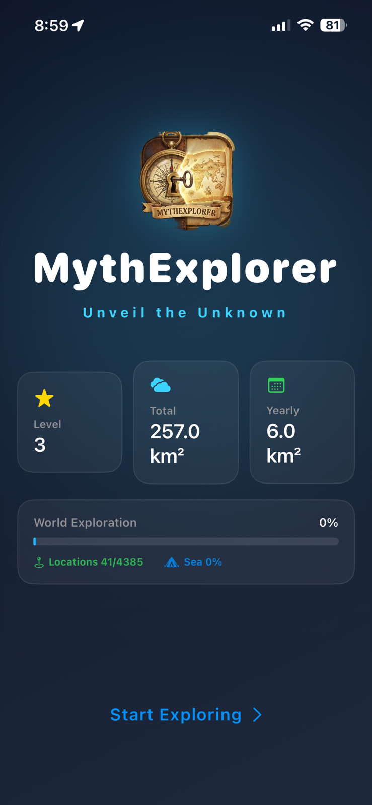
MythExplorer 2.0 Welcome screen with the colorful world icon, exploration stats and Start exploring button

Welcome back to your world

A fresh Welcome screen brings together your level, total area and this year's progress. Tap Start exploring to enter the map.

MythExplorer 2.0 Tokyo map with fog cleared around the Imperial Palace and the new bottom navigation

Street by street

The fog follows the roads you actually took. A walk around the Imperial Palace in Tokyo looks like this.

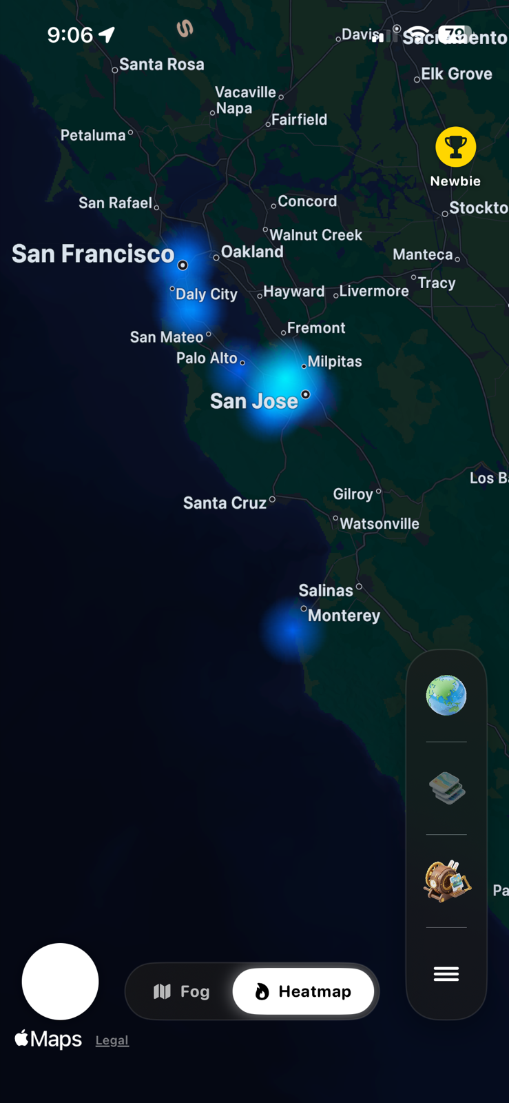
MythExplorer 2.0 heatmap of Taipei with map layers and location controls

Heatmap

Brighter where you have been more often. Zoom out to a whole city or country without waiting.

MythExplorer 2.0 globe with a flight arc, visited places and the new bottom navigation

The globe

Every place you've visited as a beacon, every flight the app saw as an arc, with a real day-night line.

MythExplorer 2.0 Journeys tab showing Import photos, Year in Review and trips grouped by year

Your journeys together

Browse trips by year, import your photo history or open Year in Review, all from the Journeys tab.

MythExplorer 2.0 My exploration tab with level, area cleared, world exploration, achievements and settings

My exploration

Your level, world exploration and achievements in one place, with quick access to privacy settings and poster creation.

MythExplorer 2.0 Paris map showing explored streets along the Seine and around the Louvre

A city made familiar

Revisit your paths through Paris, from the Seine to the Louvre. The map keeps your route and its controls in view.

MythExplorer 2.0 settings showing Record my journeys, screen-off guidance, Keep screen on and location permission

Recording, explained

One recording switch, a separate Keep screen on option, and clear guidance for background recording and location permission.

Print where you've been

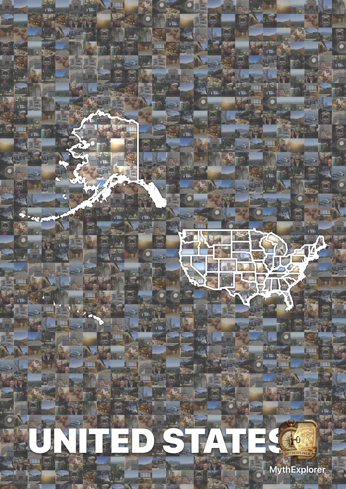
Pick a country and export it as a 300 DPI poster. Only the paths you walked are drawn, so what ends up on the wall is a record of your own travels, not a generic map.

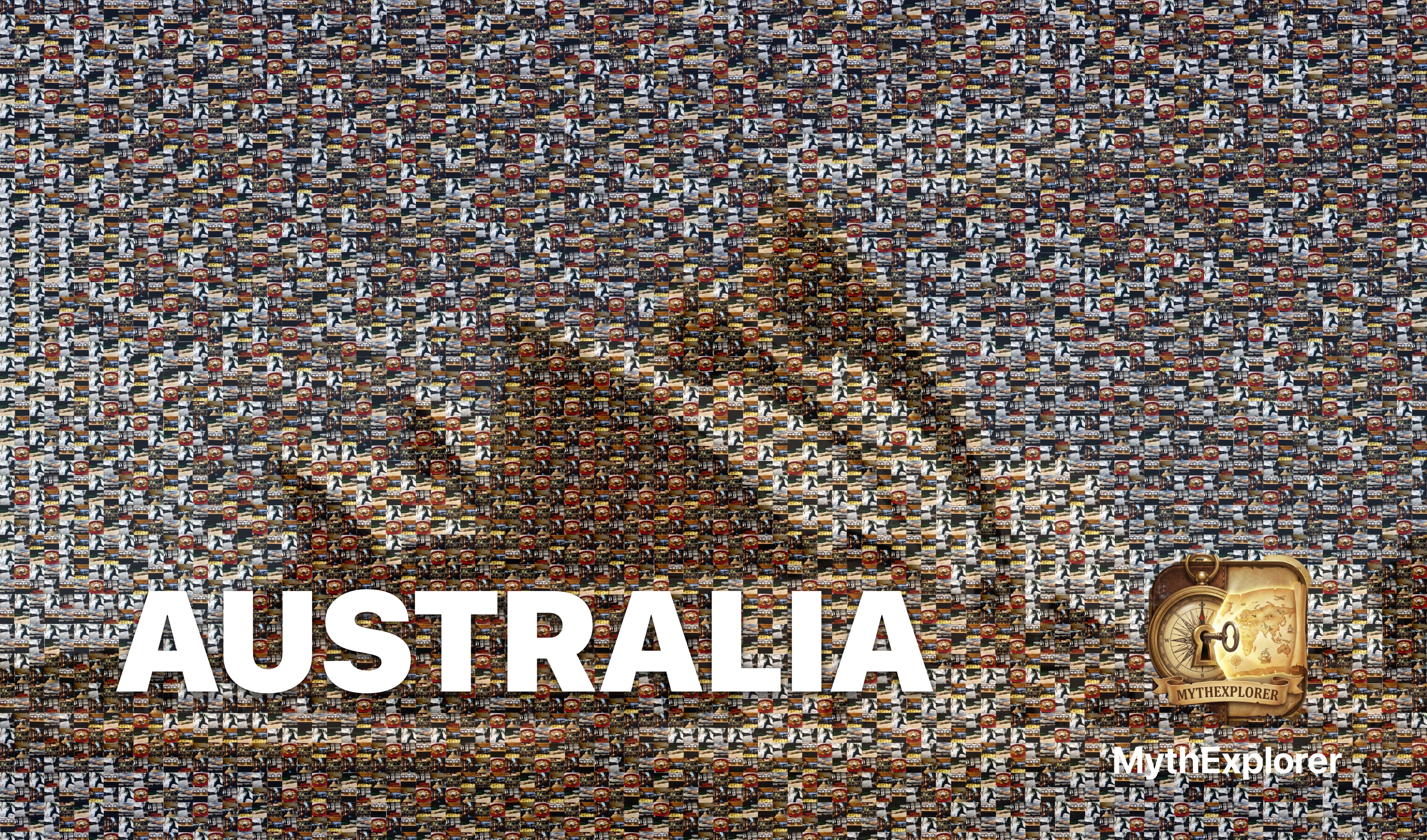
There is also a mosaic style: choose any photo and the app rebuilds it from thumbnails of your own pictures, favouring the ones taken in that country and spreading them across different days so one afternoon doesn't take over. Tiles are rotated the right way up and never repeat in a visible grid.

300 DPI Standard, mosaic, or art style Optional date range
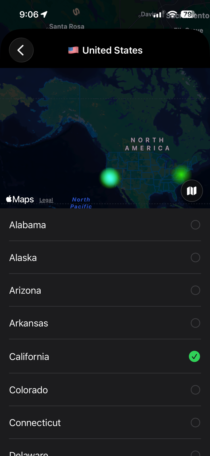
Exported United States poster built from photo tiles, with the state outlines drawn on top
Mosaic of the Sydney Opera House built from travel photos

Where your data lives

On the phone. There is no account and no server; the app never sends your location anywhere. If you delete it, the history goes with it.

Draw a privacy zone around home or work and nothing inside it is ever recorded, including by the background tracking. You can pause recording at any time from the map, and the tracking status is always shown on screen so you know when it's running.

The small print

  • Permissions: "While Using" is enough for the map and photo import. Background recording and landmark unlocks need "Always", and the app explains why before asking.
  • Battery: journey recording reduces location activity when you stop moving. You can pause it from the map or turn it off in Settings.
  • Photos: the app reads the location and date saved in each photo and uses thumbnails for the map pins and the mosaic. Nothing is uploaded.
  • Languages: English, Traditional Chinese, Simplified Chinese, Japanese, Korean and Arabic.
  • Devices: iPhone and iPad.

See how much of the world you've actually walked.

Import your photos first and the map won't be empty for long.

Download on the App Store